Taking Surveying to New Heights with Drone Technology
October 27, 2026
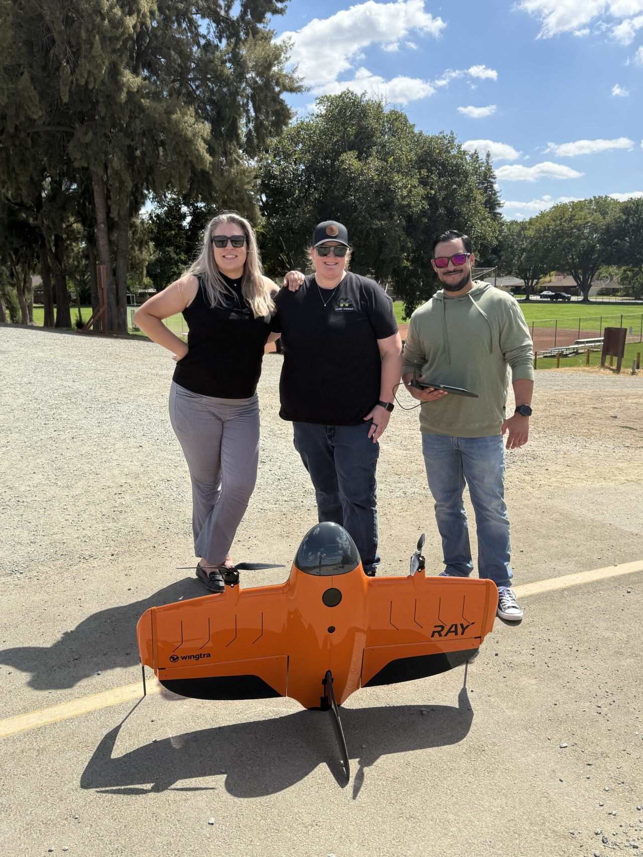
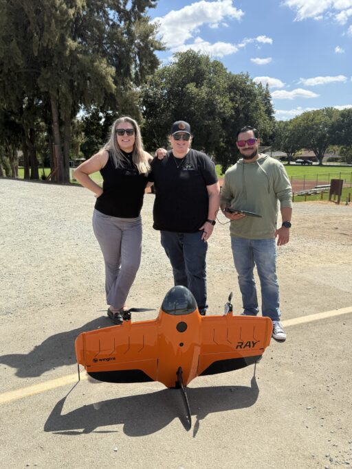
Our survey team is taking to the skies! Through hands-on drone flight training, we're embracing aerial technology to enhance data collection, gain valuable site insights, and deliver even greater value to our clients.
What happens when surveyors learn to fly? Recently, several members of our survey team got the opportunity to learn drone flight operations and see how aerial technology enhances the surveying process. From capturing detailed site imagery to improving data collection and project insights, drones are becoming an important tool in the surveyor’s toolkit. We’re proud of our team’s commitment to expanding their knowledge and embracing technologies that help us better serve our clients.