
Mark Thomas Selected to Support Climate Adaptation and Flood Mitigation in Pajaro Valley
Mark Thomas is leading a study to enhance Highway 1 resilience at the Pajaro River through flood mitigation, climate adaptation, and nature-based solutions.
We’re thrilled to announce that we’ve been selected to evaluate potential nature-based solutions to mitigate the impacts of flooding, drainage impoundment, sea level rise, and climate change to the prime agricultural land in the Pajaro Valley!
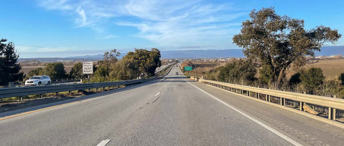
The Association of Monterey Bay Area Governments (AMBAG) and Pajaro River Flood Management Agency (PRFMA) have partnered to improve the resilience of Highway 1 at the Pajaro River and have identified the critical need for transportation infrastructure improvements at the Pajaro River Bridge, located at the county line between Santa Cruz and Monterey Counties. During the development of the Pajaro Bridge Infrastructure Resilient Design Study (Pajaro BIRDS), our team will document the critical need for flood mitigation and climate adaptation strategies for the Highway 1 Bridge and within the larger Pajaro River region. Additionally, we will recommend a package of effective infrastructure designs and climate adaptation strategies that enhance the ecological & transportation resilience of the bridge, Pajaro River Flood Management District program, and regional Highway 1 infrastructure to improve transportation connectivity & water infrastructure needs. The project will help reduce the risk of levee failure, maintain the integrity of the region’s rich and large tracts of agricultural lands spanning approximately 4,000 acres, and support the climate resiliency and emergency evacuation needs of the local Watsonville and Pajaro communities.
