
Exploring the Pacheco Pass Wildlife Crossing Through Data and Design
Discover the Pacheco Pass Wildlife Crossing in an interactive ArcGIS StoryMap, highlighting wildlife movement and collision hotspots through engineering, science, and stunning visualizations.
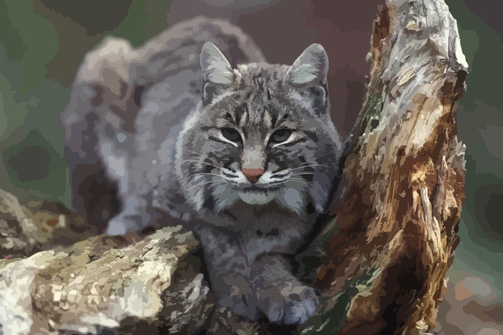
We’re excited to share an ArcGIS StoryMap that explores the Pacheco Pass Wildlife Crossing! By combining engineering expertise, scientific research, and engaging data visualizations, the StoryMap offers fresh insights into wildlife movement patterns and vehicle-wildlife collision hotspots.
Mark Thomas provided engineering services, drawing on data from the Santa Clara Valley Habitat Agency and the UC Davis Road Ecology Center. The StoryMap was developed by Ian Redding, with renderings created by Ken Bock of the Mark Thomas Graphics & Visualizations team.
This interactive experience illustrates how thoughtful design and data-driven insights can help protect wildlife while enhancing transportation safety.
https://storymaps.arcgis.com/stories/c10f0ba992b742d7bdd00565a1ad8407