We Provide Support for the Design of Water and Wastewater Facilities and Water Resources Improvements

Mark Thomas provides comprehensive surveying support for a wide range of water, wastewater, and water resources improvement projects. Our field surveys utilize advanced GPS technology to collect accurate data, which we integrate into georeferenced digital maps using GIS software. These maps incorporate satellite imagery, high-elevation and remote-sensing data, and local sources to support informed decision-making and planning.
In addition, we offer full-service sanitary sewer district management, including operations, maintenance, engineering, construction inspection, and staffing. Our team can oversee all aspects of sanitary district management, from daily operations to contracted repairs and maintenance. This hands-on experience provides us with a deep understanding of the operations and maintenance needs of public works facilities, allowing us to deliver efficient, effective solutions.
Project Types
- District Management
- Masterplanning
- Conveyance System Maintenance
- CCTV Inspection and Condition Assessment
- Pipeline Rehabilitation
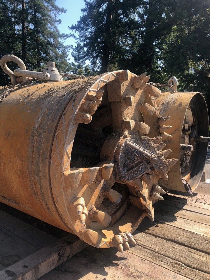
- New Pipelines
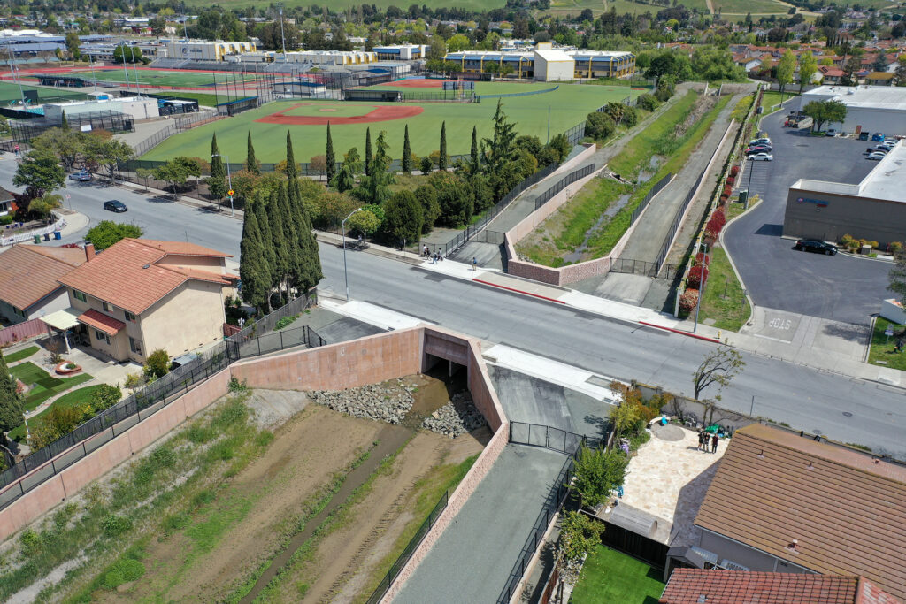
- Levees
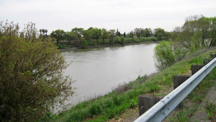
- Waterway Restoration