Relationships Built on Trust. Results Built on Experience.
Mark Thomas provides a full range of surveying services with an emphasis on utility surveying, transportation projects, including local roadways, active transportation improvements, bridges, interchanges, and freeways. We have extensive experience in providing surveying services to suit all phase of projects from project planning, topographic base information, planning and design, right of way engineering and close out, and preparing acquisition documents. We are accustomed to performing right of way retracement surveys along corridors that require the processing and analyzing of title reports.
Services Include
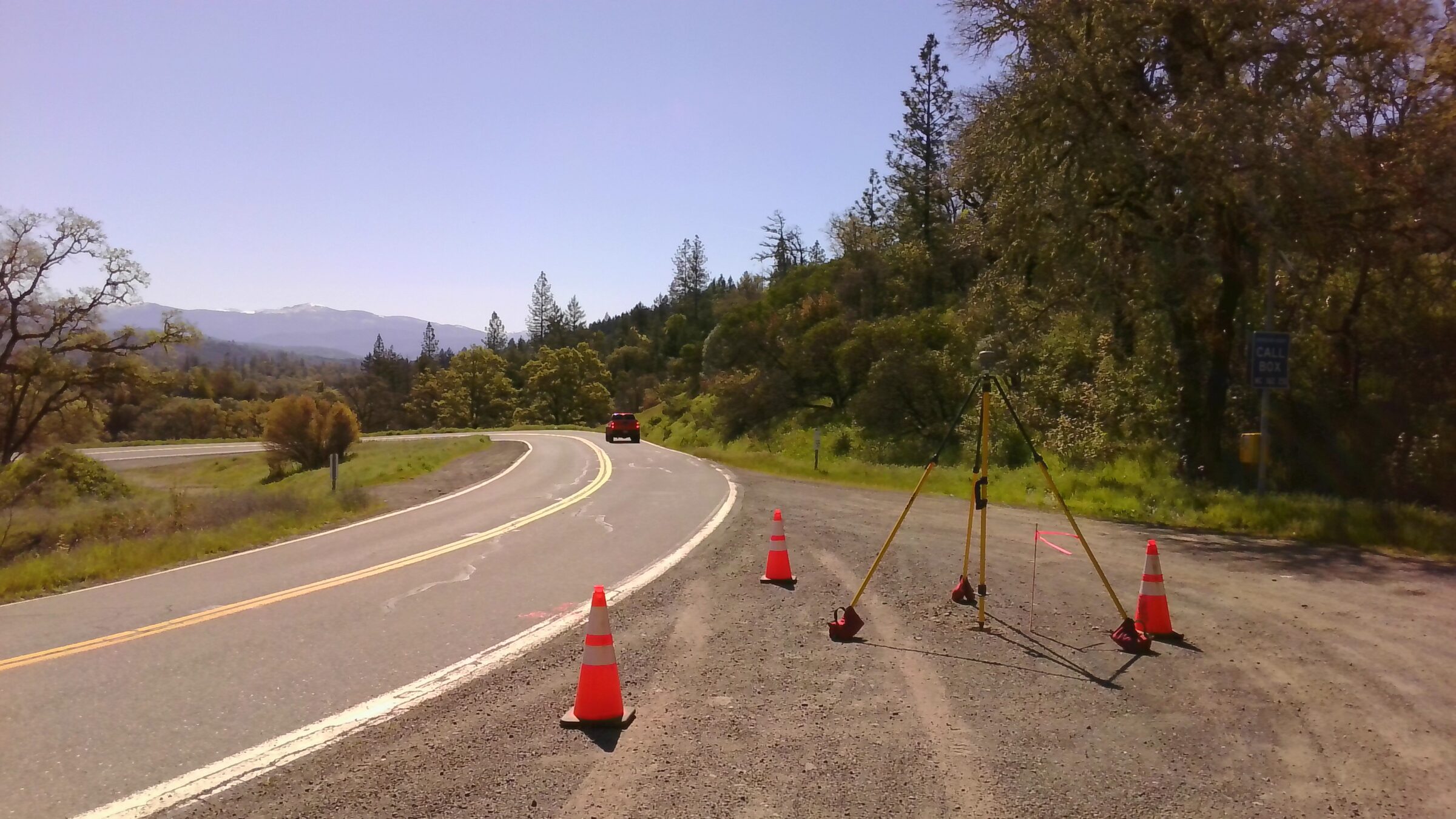
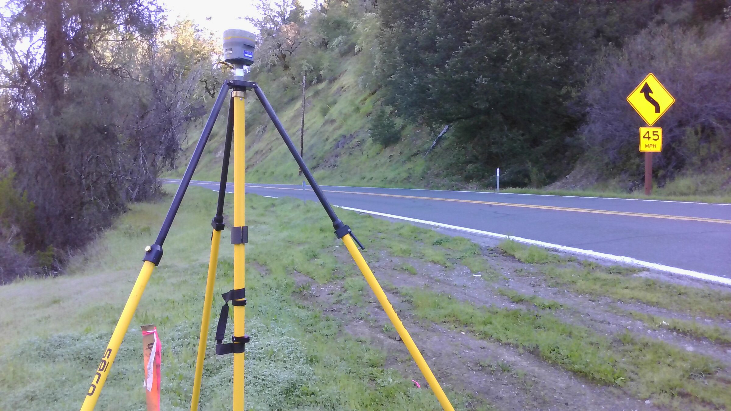
- Control Surveys
- Topographic Design Surveys
- Right of Way Engineering and Survey Support Services
- Title Analysis & Records Research
- Boundary Retracement
- Record of Surveys
- Lot Line Adjustments
- Monument Preservation/Perpetuation
- Legal Descriptions and Plat
- Appraisal Mapping
- Conservation Lands/Regulatory Permit Support
- Utility Surveys
- Sub-Surface Utility Surveys
- Construction Staking
- Construction Quality Assurance Surveys
- Utility Mapping & Relocation Support
- Subsurface Utility Engineering (SUE)
- ALTA/ACSM Surveys
- Geographic Information System (GIS)
- Static Terrestrial and Mobile LiDAR Scanning
- UAV/Drones
Survey Technology
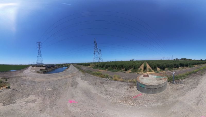
Mobile Terrestrial LiDAR Scanning
Our team is equipped with a Trimble MX50 Mobile Terrestrial LiDAR Scanner (MTLS) that collects survey accurate point cloud data of the entire project and 360-degree-field-of-view photos at every 20-foot interval, giving clients precise data that can be used for future analysis. This higher level of data provides more flexibility for future applications.
The mobile scanner allows our team to extract physical attributes from the desktop versus sending personnel out into the field. This process significantly reduces the amount of time spent on the roadways, thereby increasing team and public safety while also decreasing the interruptions to the motoring public.
Right of Way
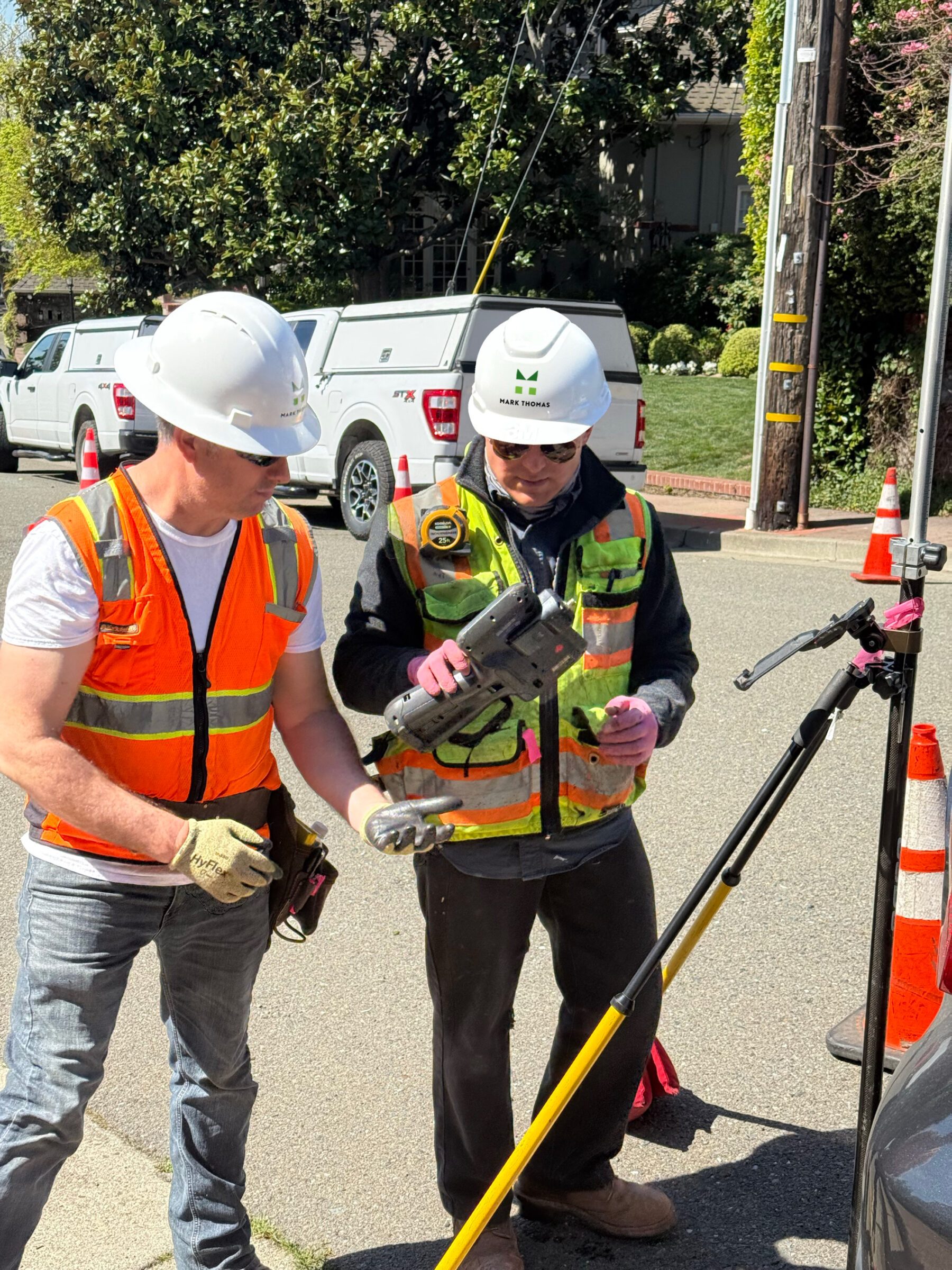
Right of Way Support
Mark Thomas provides comprehensive surveying services to support right of way identification, acquisition, and mapping, and is especially well-suited to large, linear infrastructure projects such as roadway, rail, and utility corridors. The process begins with thorough research of all available record data, such as title reports, vesting deeds, record maps, and public agency documents, to develop a detailed understanding of existing property lines, easements, and rights of way. This information is compiled into a CAD-based “Land Net” map, which serves as the foundation for boundary determination and is supported by field surveys and a control diagram including a basis of bearings and datum statement.
Proposed acquisition limits, or “Right of Way Requirements,” are reviewed and refined to ensure accuracy, clarity, and compatibility with design plans. Once finalized, legal descriptions and accompanying plat maps (exhibits) are prepared for each parcel to clearly define acquisition areas, ensuring they meet legal, surveying, and title requirements. All deliverables are reviewed and approved by a licensed land surveyor to ensure technical accuracy and compliance.
Survey Technology
Drones/Unmanned Aerial Vehicles (UAVs)
Mark Thomas has FAA-certified drone pilots who operate our drones in capturing aerial data. We are well adept with capturing aerial site photos to create 3D maps that include GPS coordinates with accurate measurements. Some of the most common ways we use the data is for:
- Earthwork Quantities: Helping to balance material on a projects site and knowing the exact volume of dirt that is moving.
- Property Management: Includes weed abatement, encroachments, condition assessment, and as-built mapping.
- Project Tracking: Allowing clients to visualize the progress and record the project at every stage of construction.
- Topographic Mapping: replacing photogrammetry workflow on appropriately sized projects
Mark Thomas’ UAV Surveying allows our team to capture surveying in difficult areas and terrains where traditional surveying methods are not feasible. This option of surveying is also cost-effective, as it takes less time to set up the drone and capture the data than traditional methods of surveying.
Utility Locating
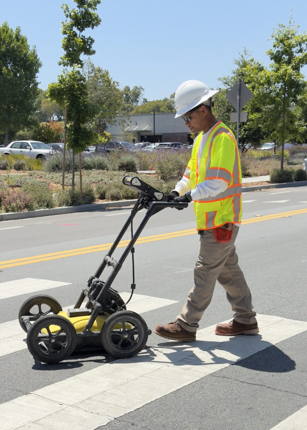
Subsurface Utility Engineering (SUE)
Mark Thomas offers Subsurface Utility Engineering (SUE) services to detect underground utilities for planning, project development, and design purposes, in accordance with industry-standard ASCE 38-22 guidelines. SUE provides essential information to mitigate costly delays caused by unexpected conflicts with existing underground facilities. Early detection of underground facilities benefits utility owners and clients alike, significantly enhancing safety during construction activities.
Our SUE crews employ record utility mapping in conjunction with electromagnetic (EM) locators and ground-penetrating radar (GPR) to detect and mark underground lines on the surface with paint, nails, and/or flagging. These markings can be collected by survey field crews either concurrently with SUE operations or at a later time, ensuring enhanced coordination and providing comprehensive information to the design team.